There’s a wonderful web app (“Allmaps Here”) that shows your GPS location on old maps. I love it.
We didn’t have GPS until a few decades ago (it took some relativity theory, satellites and microelectronics). But we have had fantastic maps for thousands of years. So how about combining both, and doing some GPS positioning on very old maps?
It’s possible, and I love how it’s done. There’s a wonderful web app by Bert Spaan that’s called Allmaps Here: https://here.allmaps.org
Allmaps Here uses old ‘georeferenced’ maps, and it shows your current location on those old maps.
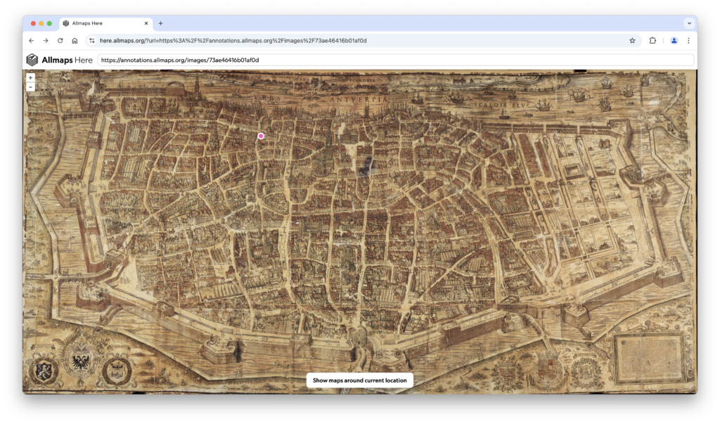
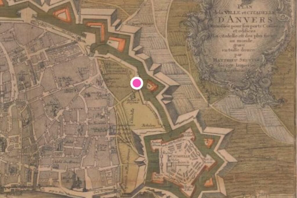
My location on this map (the pink dot) is just in front of the Plantin-Moretus Museum. It is the first museum to be on the Unesco World Heritage List. It is the original residence and printing house of the Plantin-Moretus publishing family in the heart of Antwerp.
How to use Allmaps Here?
Using Allmaps Here could not be easier. Just go to the website https://here.allmaps.org.
Allow the website to use your location. It works on your smartphone and your computer. You’ll get an overview of some georeferenced maps nearby. Just click one of those maps, and it will show your location on that old map.
Example in Antwerp
Antwerp is the city I live in, and I’ve rediscovered many places just by wandering around the city using those old maps.
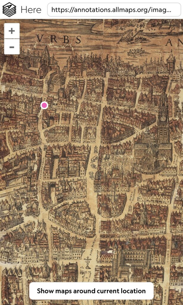
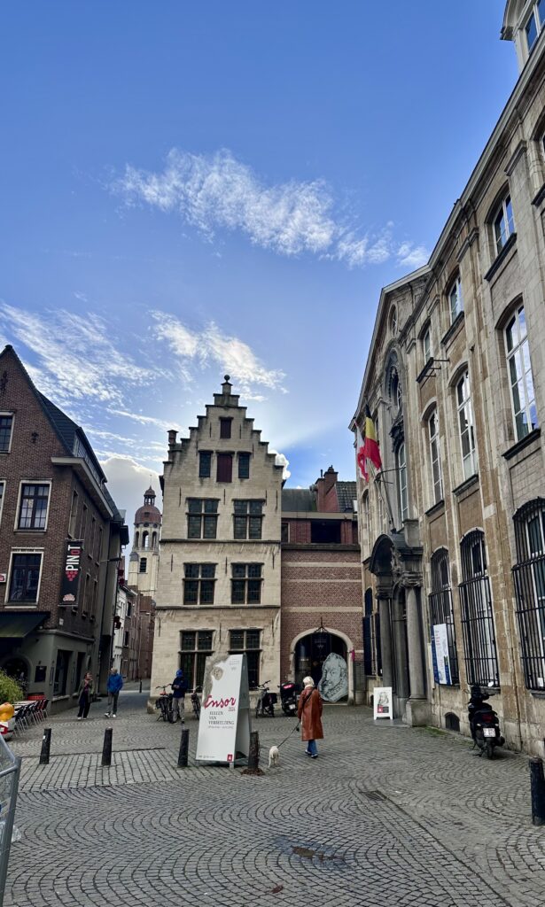
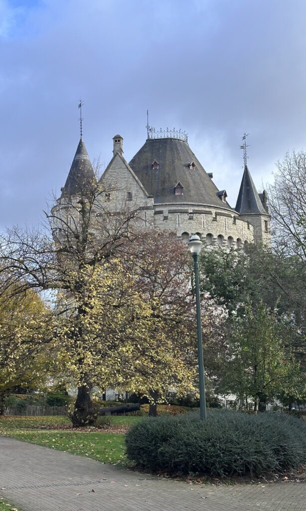
I also took the photo on the right while standing there.
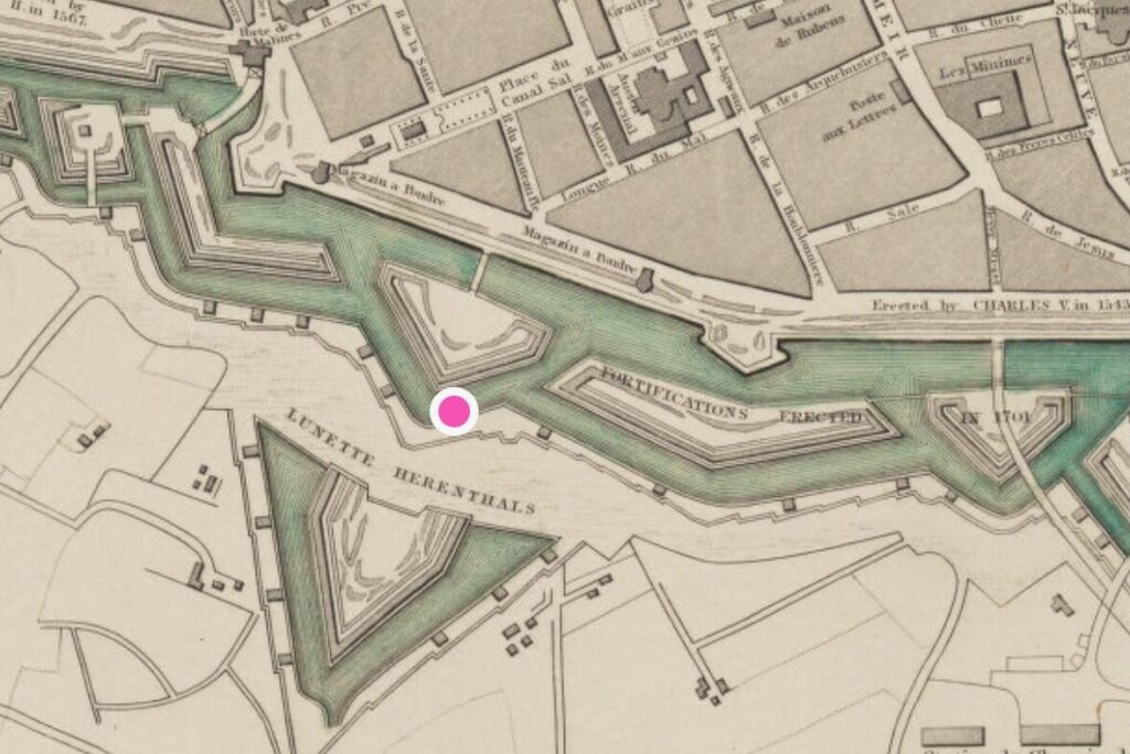
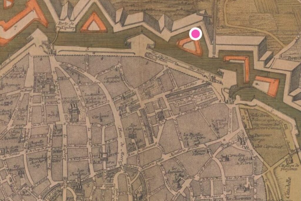
You can access this 1565 Virgilius Bononiensis map of Antwerp on Allmaps Here.
Places like the Kasteelpleinstaat (“Castle Square Street”) actually bordered an old castle that is long gone. Or the triangular Antwerp City Park was once part of the city’s fortifications.
Example in Brussels
I’m frequently in Brussels (capital of Flanders, Belgium, Europe,…). While it’s not an ancient city, it has a lot of history. You can really see the city grow by comparing old maps over the last centuries.
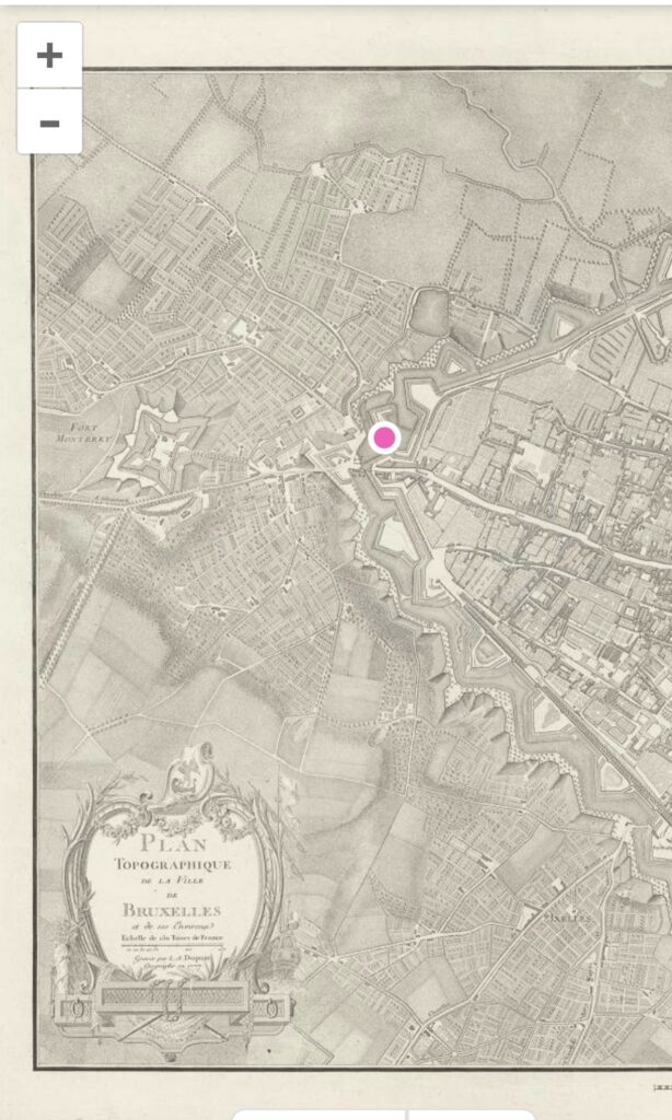
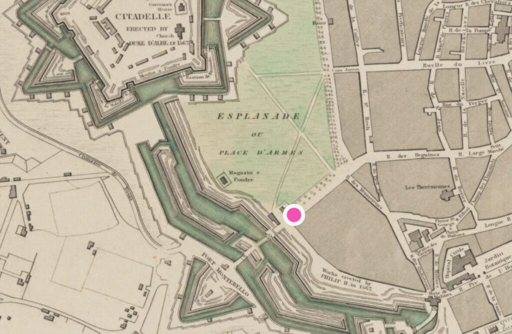
This map of Brussels was made in 1777 by L.A. Dupuis under General Count de Ferraris. The Ferraris maps are known worldwide as very good and rich cartographic sources. You can access this 1777 topographic map of Brussels on Allmaps Here.
“I want to georeference old maps too!”
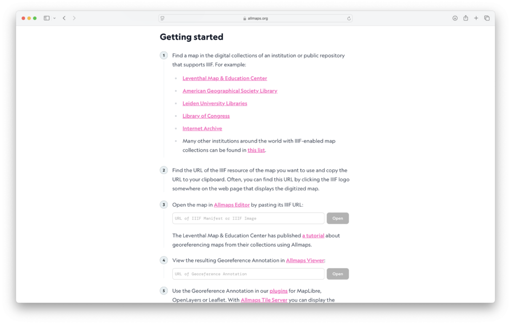
That’s perfectly possible, thanks to Allmaps. Just go to the website https://allmaps.org, and study the section “Getting started”. It’s really not that difficult, and the results are fun and useful.
The history of this idea
I have been toying with this idea for a while. In May 2021 (when I was still on Twitter) I tweeted a mockup of this:
Then a month later, Bert Spaan announced Allmaps…
I got in touch with Bert, and we chatted about combining his technology and my idea. And apparently, it wasn’t that hard to implement (at least for someone with skills like his).
And indeed, in the Spring of 2022 Bert quietly launched Allmaps Here. I have been planning to write about that for a while now (indeed, more than two years), but life got in the way. But I liked Bert’s implementation so much, I wanted to give it a proper post. So here we are.
Your discoveries!
I’d love to see your discoveries too. Post photos and screenshots of the maps with the hashtag #allmapshere, so we can easily find them!